IDEA SET
IDEA SET
Celebrate Geography Awareness Week
Celebrate Geography Awareness Week
What steps can leaders and communities take to use less water? What does the path of the panther tell us about how to conserve Florida’s landscape? How can we use maps to reimagine our history? How can we design geospatial tools for social change?
This Geography Awareness Week, learn about the work of National Geographic Explorers who are using maps to solve the world’s most pressing problems. This resource features their efforts, includes information about the foundations for GIS, and provides additional teaching and learning resources developed by our partners at Esri.
Grades
K, 1 - 12+
Subjects
Geography, Human Geography, Physical Geography, Geographic Information Systems (GIS)
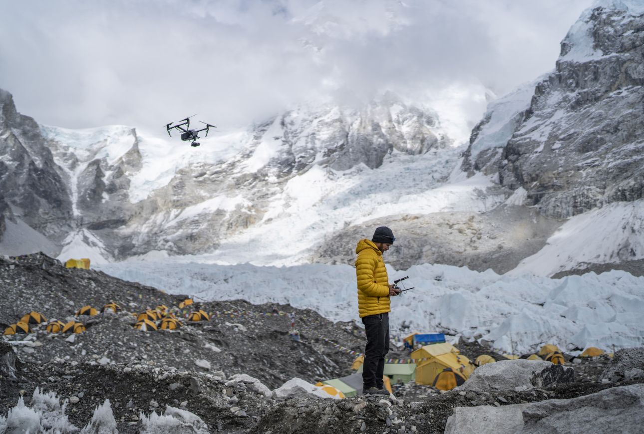
Photograph by Mark Fisher
Instructional Links

Investigate World Water Maps
Everyone uses fresh water, but not everyone has all they need. What areas of the world are using the most water? What are they using it for? Will they run out? Explore these questions using our World Water Maps in MapMaker, a digital mapping tool for the classroom.
Idea Set: MapMaker: World Water Map

Reimagine History With Heritage Maps
How can we use maps to reimagine our history? See how National Geographic Explorer Alicia Odewale uses maps to help students visualize and understand life in Oklahoma’s historic all-Black towns one hundred years ago.
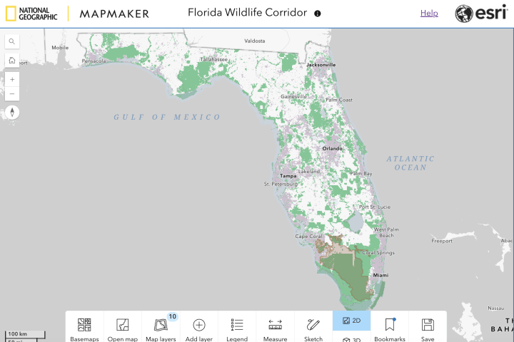
Examine the Florida Wildlife Corridor
National Geographic Explorer Carlton Ward, Jr. is focused on conserving key corridors throughout the state of Florida that will enable panthers and other wildlife to thrive. Explore a map that illustrates the relationship between Florida’s developed areas and protected lands, created in conjunction with National Geographic film, The Path of the Panther.
Article: MapMaker: Florida Wildlife Corridor
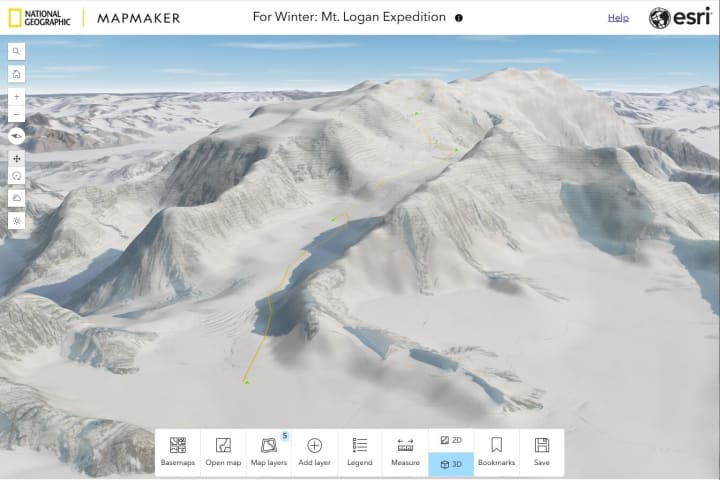
Explore Mount Logan
Visualize the expedition of National Geographic Explorer Alison Criscitiello and her team as they embark on a scientific journey to collect a record-breaking ice core in hopes of galvanizing climate research. This map is a companion to the National Geographic Society documentary film, "For Winter."
Article: MapMaker: Mount Logan Expedition
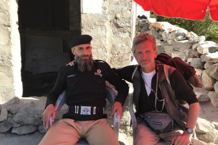
Analyze Borders and Power on a Walk Across the Earth
What can a map tell us about police power? Analyze a map of police stops encountered by Explorer Paul Salopek on his storytelling walk across the world.
Article: Police Stops: Borders and Power on a Walk Across the Earth

Consider Mapping Justice
How can we design geospatial tools for social change? National Geographic Explorer Nick Okafor has built his career around the power of maps. Learn about Okafor’s project, Mapping Justice, considering how maps illustrate interconnectedness, tell stories, identify problems, visualize data and implement solutions.
Article: Explorer at Work: Nick Okafor
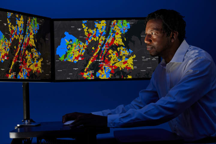
Explore More: A Collection of GIS Concepts
This curated collection covers key GIS terms and concepts, and features National Geographic Explorers using GIS technology in their work. GIS technology can help us better identify spatial patterns and relationships, profoundly informing our understanding of place.
Collection: GIS

Explore More: Activities Developed By Esri
Find mapping activities for children, teens and adults to celebrate GIS Day, compiled by our partners at Esri.
Website: GIS Day Resources
Media Credits
The audio, illustrations, photos, and videos are credited beneath the media asset, except for promotional images, which generally link to another page that contains the media credit. The Rights Holder for media is the person or group credited.
Last Updated
November 19, 2024
For information on user permissions, please read our Terms of Service. If you have questions about how to cite anything on our website in your project or classroom presentation, please contact your teacher. They will best know the preferred format. When you reach out to them, you will need the page title, URL, and the date you accessed the resource.
Media
If a media asset is downloadable, a download button appears in the corner of the media viewer. If no button appears, you cannot download or save the media.
Text
Text on this page is printable and can be used according to our Terms of Service.
Interactives
Any interactives on this page can only be played while you are visiting our website. You cannot download interactives.
