IDEA SET
IDEA SET
Country and State Reports
Country and State Reports
Explore the physical geography, human geography, and cultures of countries around the world.
Grades
PreK - 12+
Subjects
Geography, Human Geography, Physical Geography
Get ideas for ways to explore the physical geography, human geography, and cultures of countries around the world.
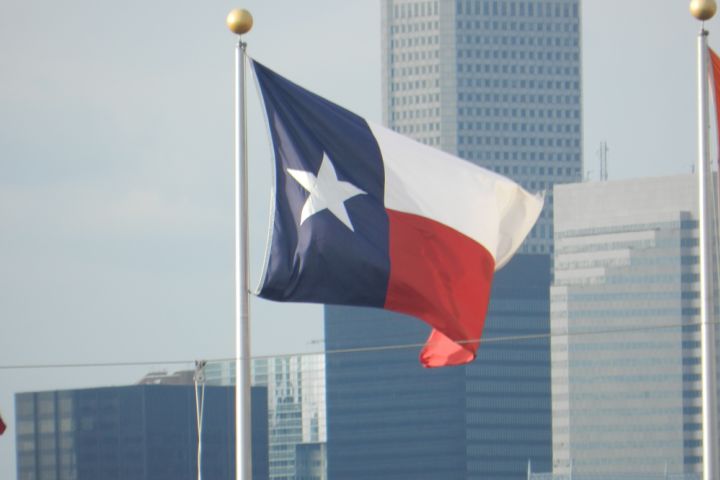
State Flags
Identify the state flags of the United States and your state. Also identify national and state symbols, such as birds and flowers.
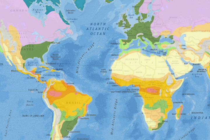
Location
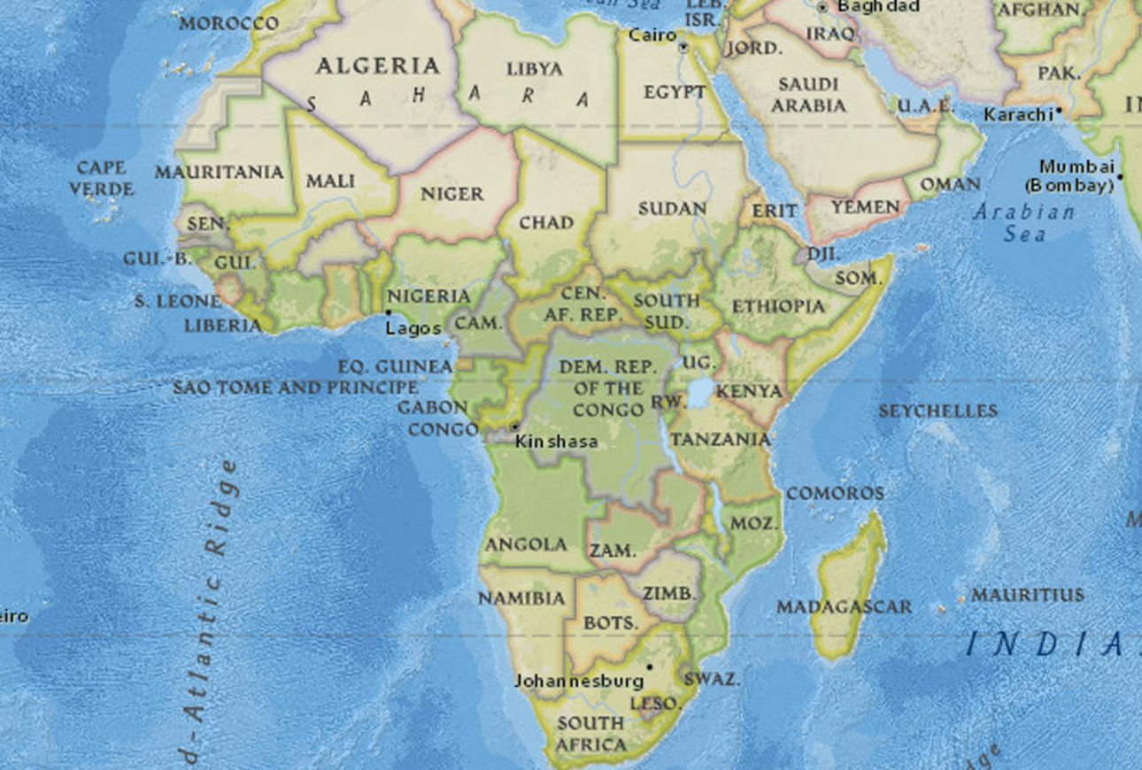
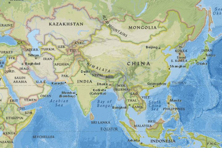
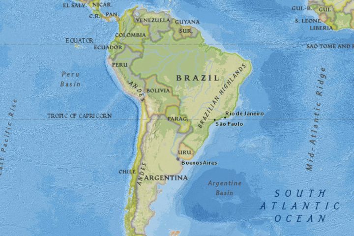
Explore the location of a country using maps. What is the country's regional location? What are the neighboring countries and adjacent bodies of water? What is the latitude and longitude of the approximate geographic center of the country? Do you think that strategically it is a well-located country? Why or why not?
Suggested countries: Austria, Canada, Ecuador, Tonga, Turkey
Country History
Research the history of a country. What major historic events can you summarize? What are the current issues? What do you predict future trends may be?
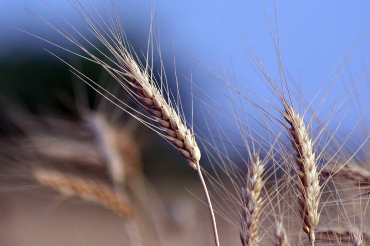
Agriculture and Food
Explore the agriculture of a country. What percentage of the land is arable? What percentage of the land is used for agriculture? What crops are grown there? What types of food do people eat?
Suggested countries: Mongolia, Malaysia, Germany, China
Compare Natural Resources
Compare the natural resources of two or more countries. Which are renewable and which are nonrenewable? Which resource is most plentiful? Which is least plentiful? For what commercial purposes are the resources used?
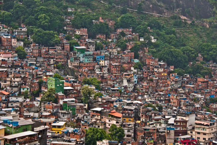
Suggested countries: Australia, Brazil, Italy, Democratic Republic of the Congo
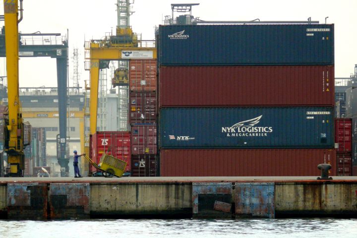
Currency and Economy
Explore the economy of a country. What is the major form of currency? What is the main industry? What is the main agriculture product? What are the main exports?
Suggested countries: Saudi Arabia, New Zealand, Chile
Countries' Climates
Explore the climate of one or more countries. What is the typical weather? What are the extremes of temperature? How much rainfall is there? What does this mean for the people who live there?
Suggested countries: Brazil, Niger, Bhutan, Greenland, France
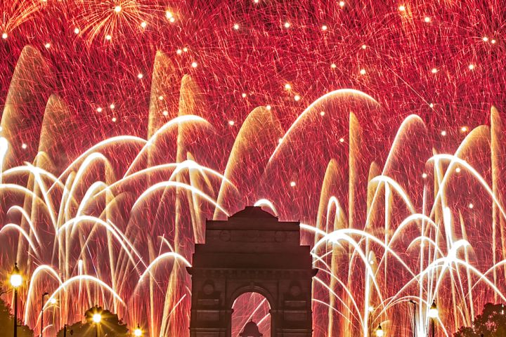
Indpendence Days
Explore the dates of independence of different countries. From what nation did they gain independence? For what reason did the country seek independence? Why would the choice to become independent be difficult? Are there different types of independence?
Languages Around the World
Explore the language or languages of a country. What is the official language? What percentage of the population speak it? Can you find a country with more than two national languages?
Suggested countries: New Zealand, Switzerland, South Africa, Spain
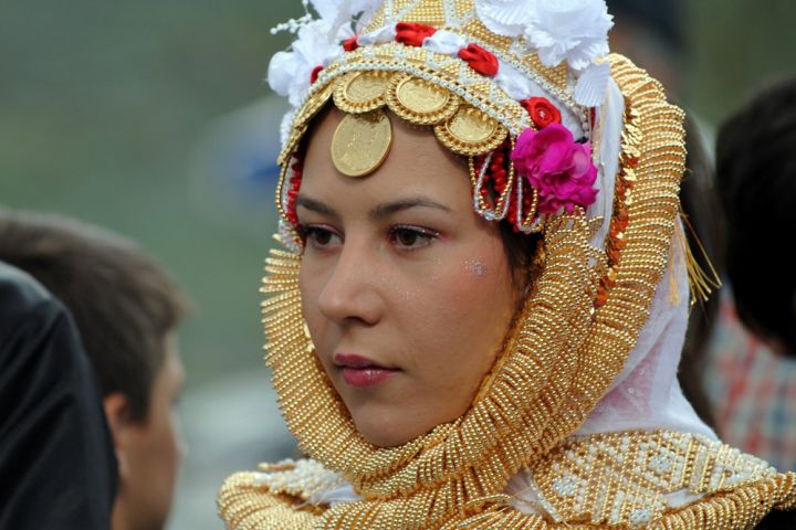
Ethnic and Religious Groups
Research the major ethnic and religious groups in a country. Compare ethnic or cultural celebrations in your country and other countries. Summarize the contributions of selected ethnic groups to your national identity.
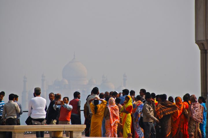
Suggested countries: Mexico, India, Fiji, Egypt, Ireland
Explore the Area of a Country
What is the total number of square miles or square kilometers? How much of that is land and how much is water? How does the country rank compared to area in the rest of the countries of the world? What U.S. state, if any, is the country comparable to?
Suggested countries: Australia, Chile, Burkina Faso, Thailand, Spain, Qatar
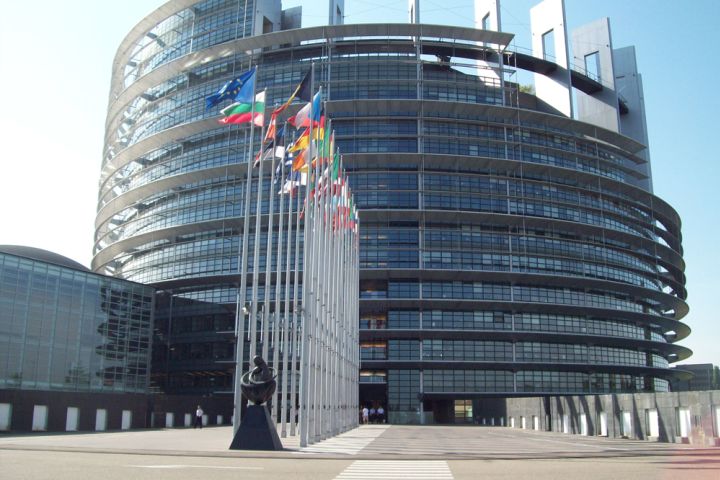
Government Structures
Choose a country and explore its type of government. What is the basic form of government? How is it structured? What legal system does it use? How old do you have to be to vote? What is the relationship between local and national governments?
Suggested countries: Australia, Luxembourg, United Arab Emirates, Switzerland, Libya, Monaco, North Korea, Micronesia, Brunei
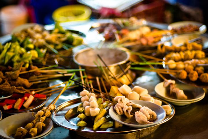
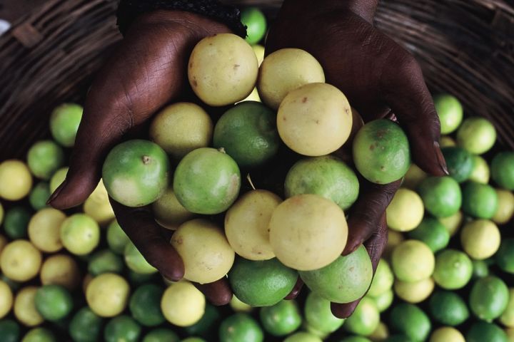
Food
Explore the food of a country. What types of foods do people eat? Are the foods packaged or unpackaged? How is food obtained? Is it from a supermarket, farmers market, or home-grown? What is the staple starch?
Holidays and Customs
Explore the holidays and customs of a country. What holidays does its population celebrate? When? What are they celebrating?
Suggested countries: France, South Korea, Costa Rica, United States
Physical Geography
Explore the physical geography of a country. On what continent is it located? What is the area, or size, of the country? What is its climate, major rivers, and major mountain range?
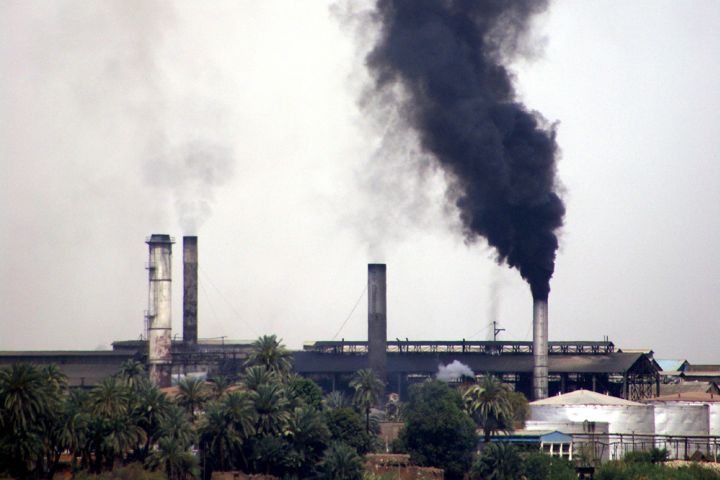
Environmental Issues
Explore the present-day environmental issues of a country. Which human activities have caused these issues? What environmental international agreements, if any, does the country have with other nations?
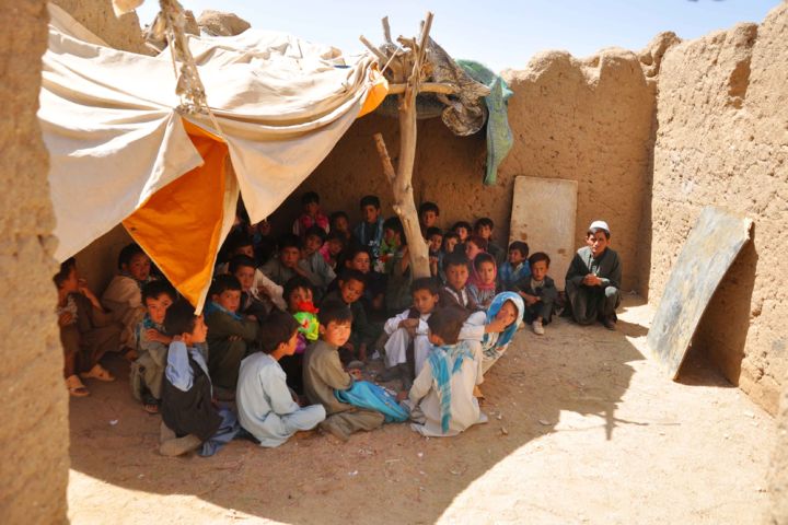
Suggested countries: Afghanistan, Philippines, Kazakhstan, Tahiti, Brazil
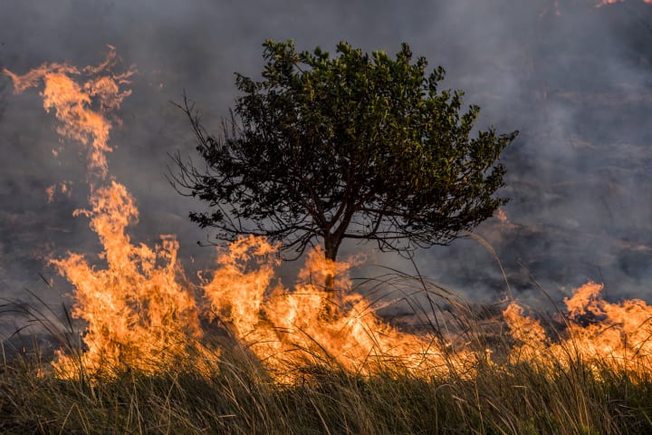
Natural Disasters
Explore the natural hazards of a country. Which are most likely to happen? Which are least likely to happen? Which hazards have historically affected populations, and how?
Suggested countries: Japan, Jamaica, Singapore, Australia, Ethiopia
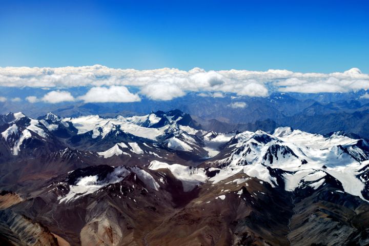
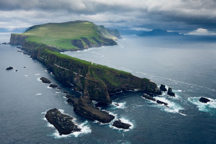
Terrain and Elevation
Explore the terrain and elevation extremes of one or more countries. What is the topography like? What are the names of the highest and lowest points? What are their elevations? What does this mean for travel and agriculture?
Suggested countries: Peru, Sudan, Lebanon, Western Samoa
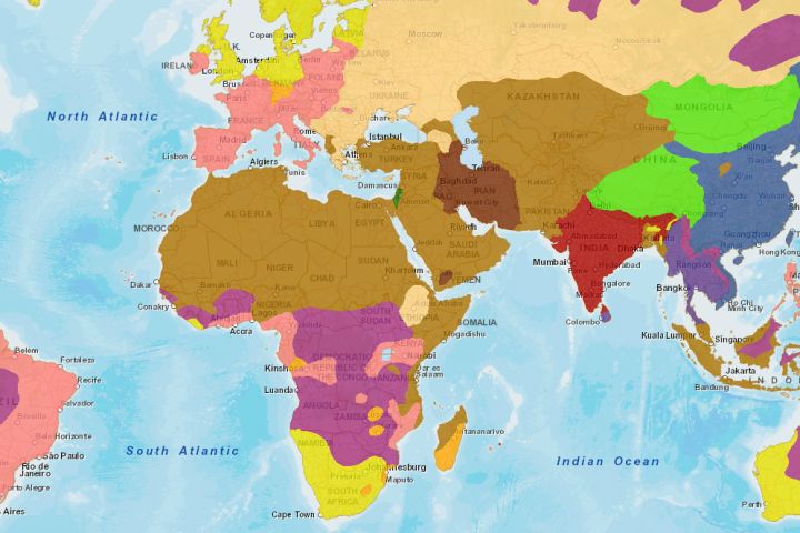
Trade Agreements
Choose a country. Explore its relationship with other countries. Does it have trade agreements? Does it have agreements regarding the environment, security, or other issues? Is it involved in a conflict with any other countries?
Suggested countries: England, Japan, Niue, Algeria, Kazakhstan, Syria
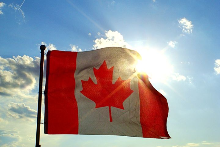
Make a Flag
Choose a country and recreate the country's flag using construction paper and markers or any other art supplies. On the back, write the name of the country, its capital city, its area, the size of its population, the language or languages its population speaks, and the currency. A country's flag is a representation of its identity. If you can find information on it, include what the colors or shapes on the flag represent or the history of the flag.
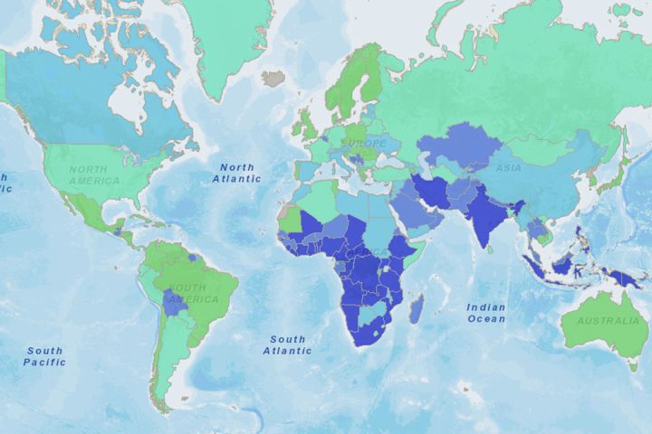
Research a Country's Population
Pick one of the ten most populous countries and print a map of it using MapMaker. On the map, write the country's population, average income, and life expectancy. Create a theory about what life might be like in this country. Then read about the country. Does what you learn make you want to revise your theory?
Literacy and Education
Explore the education of a country. What percentage of the population is literate? How many of those are male and how many are female? What is the total number of years of schooling that a child can expect to receive? How is this different from where you live?
Suggested countries: Belarus, Chad, Guatemala, Jordan, Macedonia, Sweden
Population Pyramid
Explore the population of a country. How many people live there? What is the largest age bracket? What is the population growth rate—taking into account births, deaths, and migration? Look at the country's population pyramid.
Suggested countries: China, Canada, Ukraine, Philippines, New Zealand
Learn State Names and Capitals
Label a map of the United States with the names of each state and its capital city. To help you remember the names of all fifty states, learn the song "Fifty Nifty United States." Make sure the capital cities are marked in their correct locations. Use the MapMaker to print a map of the United States. Be sure to turn off the capital and state names.
Media Credits
The audio, illustrations, photos, and videos are credited beneath the media asset, except for promotional images, which generally link to another page that contains the media credit. The Rights Holder for media is the person or group credited.
Writer
Editor
Photo Researcher
other
Last Updated
January 3, 2024
For information on user permissions, please read our Terms of Service. If you have questions about how to cite anything on our website in your project or classroom presentation, please contact your teacher. They will best know the preferred format. When you reach out to them, you will need the page title, URL, and the date you accessed the resource.
Media
If a media asset is downloadable, a download button appears in the corner of the media viewer. If no button appears, you cannot download or save the media.
Text
Text on this page is printable and can be used according to our Terms of Service.
Interactives
Any interactives on this page can only be played while you are visiting our website. You cannot download interactives.