IDEA SET
IDEA SET
Exploring with Models
Exploring with Models
Visualizing Earth systems with computational models.
Grades
5 - 8
Subjects
Earth Science
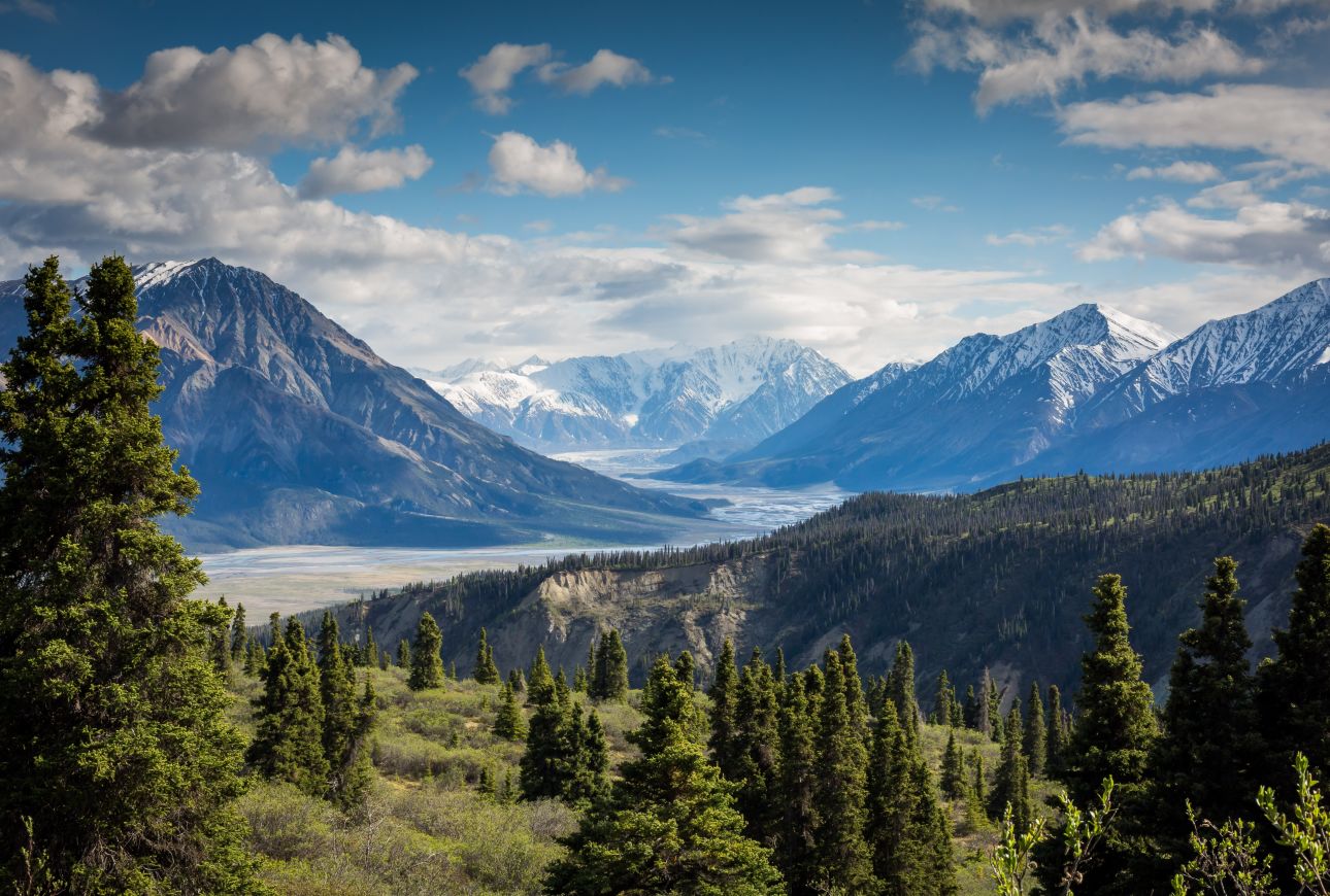
Photograph by Kalen Emsley
Earth is a set of complex systems. The motion of Earth’s plates is responsible for the land we live on as well as the recycling of carbon dioxide between the oceans and the atmosphere. We rely on Earth’s energy, mineral resources, and fresh water. We also pollute, burn fossil fuels, and deforest the land—triggering climate change, soil erosion, a decrease in air quality, and the availability of clean water. This set of curriculum modules investigates Earth’s systems with computational models. Explore tectonic plates, climate change, energy choice, hurricanes, and more!
Models and Simulations
Dynamic interactive Earth system simulations provide opportunities for discovery-based learning, offering students tools for observing and investigating previously inaccessible systems. Explore them here.
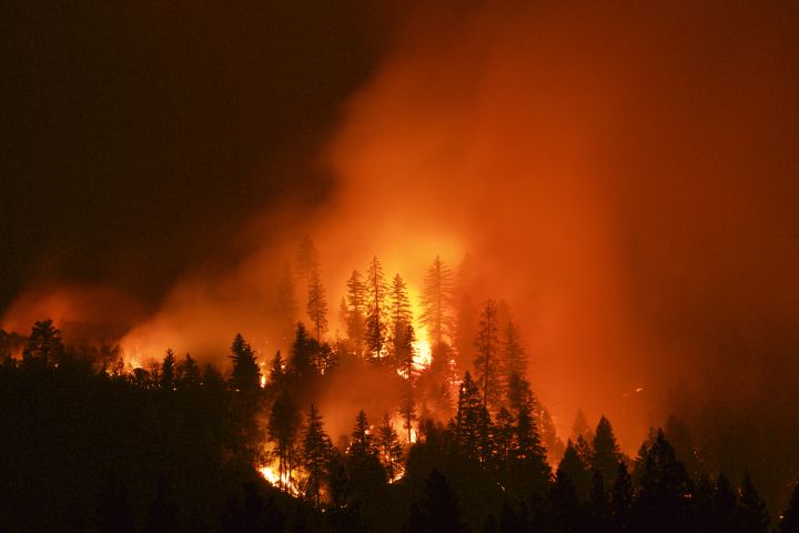
How Will Wildfire Risks and Impacts Change Over the Next 100 years?
Over the past few decades, Earth’s changing climate has driven a huge increase in the area burned by wildfires. Warmer, drier weather in some locations has increased the risk of wildfires, which are one of the most dangerous natural hazards that humans face. In this module, students explore key variables that influence the spread and intensity of wildfires, consider the impacts of fire and smoke damage to increasingly populated areas, and make predictions about how climate change may affect future wildfires.
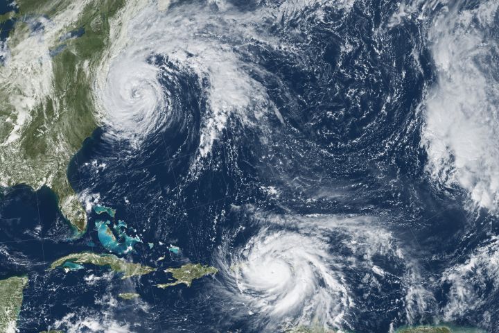
How Will Hurricane Risks and Impacts Change Over the Next 100 Years?
Earth’s changing climate has caused an increase in hurricane risks and impacts. Warmer sea surface and atmospheric temperatures have resulted in more powerful hurricanes with stronger winds, more rain, and higher storm surges. In this module, How will hurricane risks and impacts change over the next 100 years? In this module, students explore key variables that influence the risk of Atlantic hurricanes, investigate how the expected increase in hurricane strength threatens populations living along the coast, and consider the impacts that hurricanes have on these communities.
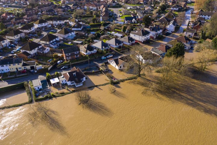
How Will Flood Risks and Impacts Change Over the Next 100 Years?
Earth’s changing climate has resulted in extreme weather events around the globe. Wetter weather in some areas has increased the risk of flooding, which is one of the most dangerous natural hazards that humans face. In this module, How will flood risks and impacts change over the next 100 years?, students explore key variables that influence the severity of in-land flooding, the hazards floods bring, and investigate the risks and impacts that floods have on people and their communities.
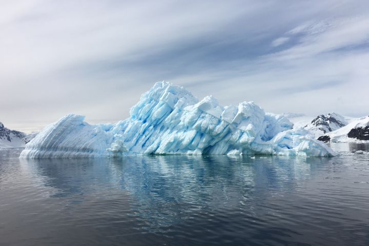
What is the Future of Earth's Climate?
Earth's temperature has increased over the past 120 years due to increased levels of greenhouse gases in the atmosphere. How will the climate change over the next 120 years? In this module, students explore temperature data from ice cores, sediments, and satellites and greenhouse gas data from atmospheric measurements, run experiments with interactive computational models, and hear from a climate scientist working to answer the same question.
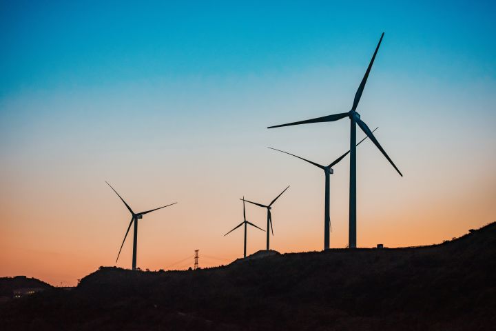
What Are Our Energy Choices?
Electricity is generated from many different energy sources. In this module, students explore the advantages and disadvantages of different energy sources for generating electricity. A particular focus is given to natural gas extracted from shale formations through the hydraulic fracturing process.
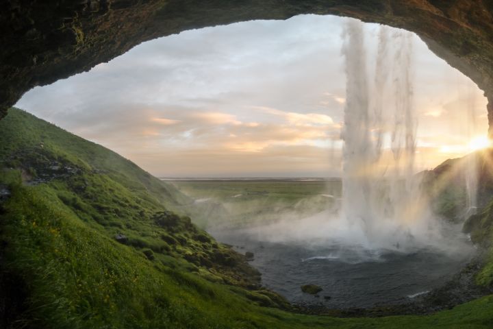
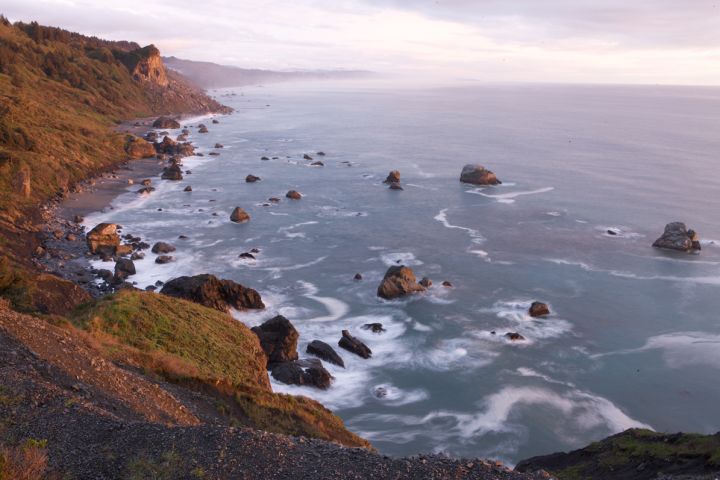
Will There Be Enough Fresh Water?
Clean fresh water is a limited and valuable resource. In this module, students consider the question: will there be enough fresh water? Students explore the distribution and uses of fresh water on Earth. They explore models of porosity and permeability, run experiments with computational models, and hear from a hydrologist working on the same question.
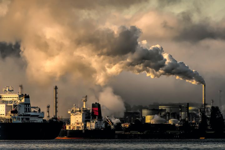
Will the Air be Clean Enough to Breathe?
Smog events have become less common in the United States since the Clean Air Acts went into effect. Yet there are still poor air quality events in some areas of the country. Other regions of the world have many more bad air days. What causes poor air quality? In this module, students explore the question, will the air be clean enough to breathe? Students are guided through the analysis of models and real-world data as they explore the interactions of factors that affect a region's air quality.
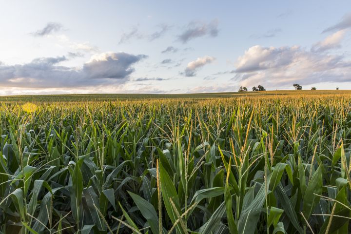
Can We Feed the Growing Population?
Our agricultural system is made up of interconnected resources. The availability of these resources affects how much food we can produce. In this module, students explore the resources that make up our agricultural system in order to answer the question: can we feed the growing population? Throughout this module, students explore land uses and soil quality through graphs of land use and crop production. They run experiments with interactive computational models to compare the effect of different management strategies on the land.
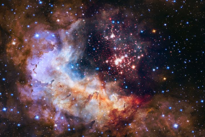
Is There Life in Space?
There are billions of galaxies filled with billions of stars. Each star has the potential to have planets orbiting it. Does life exist on some of those planets? In this module, students discover how scientists find planets and other astronomical bodies through the wobble (also known as Doppler spectroscopy or radial-velocity) and transit methods. Students compare zones of habitability around different star types, discovering the zone of liquid water possibility around each star type. Finally, students explore how scientists use spectroscopy to learn about atmospheres on distant planets.
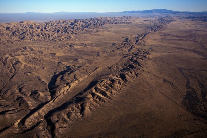
Plate Tectonics: What will Earth look like in 500 million years?
Earth’s surface has not always looked like it does today. The movement of Earth’s plates is responsible for changing the landscape in dramatic ways causing earthquakes, volcanic eruptions, and the formation of mountains, ocean trenches and mid-ocean ridges. Scientists look to these landforms and geologic events as evidence of plate tectonics, helping them both understand what happened in the past as well as predict what Earth will look like in the future. The five activities in the Plate Tectonics module build a systems view of plate tectonics, engaging students in data exploration about plate boundaries and experimentation via computer-based models of plate motion.
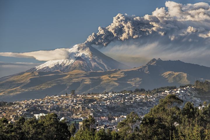
Assessing Volcanic Hazards and Risks with Code
About one in 10 people in the world live within 100 kilometers (62 miles) of an active volcano–a distance close enough to be at risk of volcanic hazards. The Assessing Volcanic Hazards and Risk with Code module asks students to consider the question "Who is at risk from a volcanic eruption?" In this module students develop block-based computer codes to explore the risk of tephra volcanoes and the natural hazards they cause.
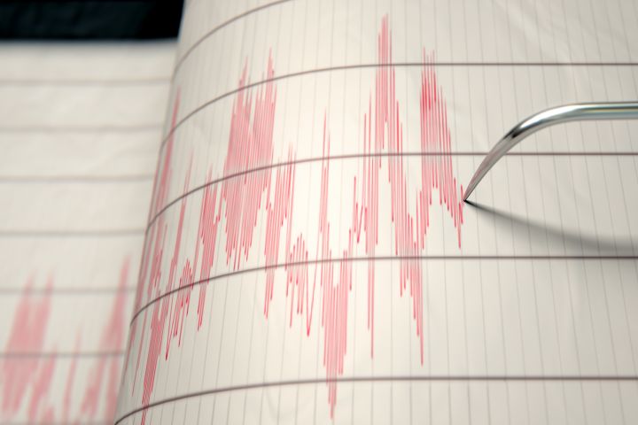
Assessing Seismic Hazards and Risk with Code
What is the likelihood that a person living in California along the San Andreas fault might experience a large earthquake? In the Assessing Seismic Hazards and Risk with Code module students investigate seismic hazards and risks by building block-based programs to create simulations and map visualizations of ground motion, deformation, and deformation build-up based on high-precision GPS data. By the end of the module, students use their data visualizations to reason about the hazards, impacts, and risks of earthquakes for people living in California.
Media Credits
The audio, illustrations, photos, and videos are credited beneath the media asset, except for promotional images, which generally link to another page that contains the media credit. The Rights Holder for media is the person or group credited.
Last Updated
October 19, 2023
For information on user permissions, please read our Terms of Service. If you have questions about how to cite anything on our website in your project or classroom presentation, please contact your teacher. They will best know the preferred format. When you reach out to them, you will need the page title, URL, and the date you accessed the resource.
Media
If a media asset is downloadable, a download button appears in the corner of the media viewer. If no button appears, you cannot download or save the media.
Text
Text on this page is printable and can be used according to our Terms of Service.
Interactives
Any interactives on this page can only be played while you are visiting our website. You cannot download interactives.