IDEA SET
IDEA SET
Geography-Rich Classroom
Geography-Rich Classroom
Get ideas for incorporating geography into any classroom or discipline. Immerse your students in these creative projects.
Grades
K, 1 - 12
Subjects
Geography, Human Geography, Physical Geography
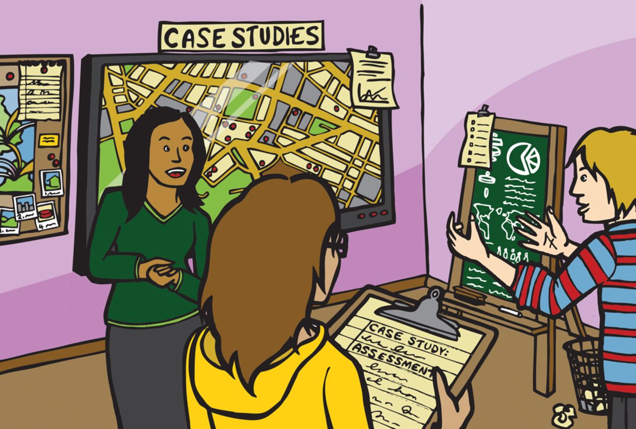
Illustration by Mary Crooks
Get ideas for incorporating geography into any classroom or discipline.
Helping the Environment
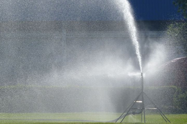
Have students list ways that people affect their environment every day, for example, driving cars, using water, disposing of garbage or smoking cigarettes. Have students make a second list of ways that people affect their environment through seasonal activities, for example, watering lawns, burning leaves, fishing or hunting. Use a Venn diagram to compare and contrast the two lists. Have students discuss which activities are more harmful or helpful to their environment. Ask students to suggest ways that people can change their behavior and improve their environment.
Mapmaking
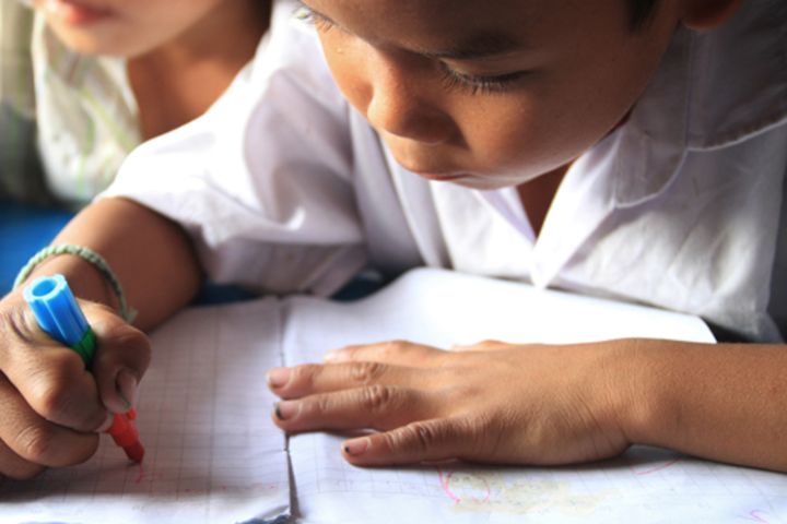
Have students publish or present student-created maps whenever possible. Ask students to explain their mapmaking process and give them positive feedback.
Create a Geography Center
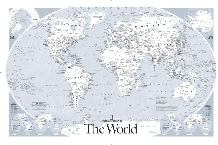
Include a variety of maps, atlases, globes, books and magazines. Also include science or social studies concepts—such as the water cycle, plate tectonics and migration patterns—presented through the lens of a geographic perspective.
Class Collage
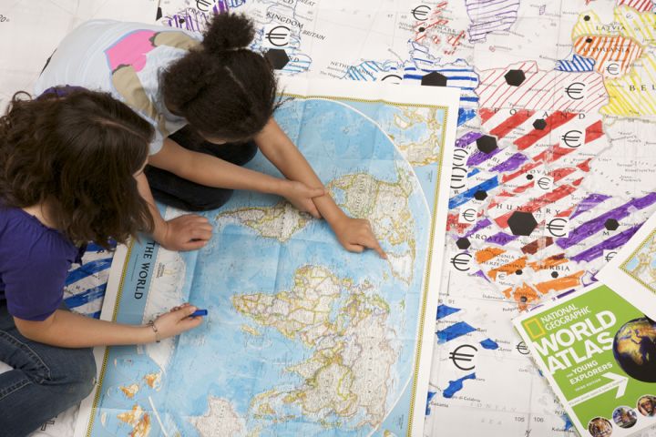
Have students create a class collage on top of a wall-sized world map. Ask them to collect postcards and arrange the postcards according to continent and country. Have students add illustrations and photos of political leaders, historical events and native wildlife from postage stamps. They can also add objects by location; for example, a spice from the main area where it grows, or a feather from the main location of a type of bird.
Track the Weather
Have students keep track of the weather and discuss patterns on weather maps. Have them predict what the weather will be in one day, two days or a week. Have students check and discuss their predictions.
Find Similarities
Have students list and discuss four ways their hometown is connected to a nearby town or city that they have located on a map.

Email Pen Pals
Have students begin an email correspondence with pen pals from around the country or world. Make sure they share information about the landscape, habitats and ecosystems around their homes and school as well as details about daily life and culture.

If You Were Ambassador
Divide students into small groups and have each group choose a country. Tell each group to imagine they are the United States ambassador to that country. What kind of place is the country? What unique qualities must an ambassador possess in order to adequately represent the U.S. in that place? What should the ambassador learn about the country before moving there?
Identify Locations
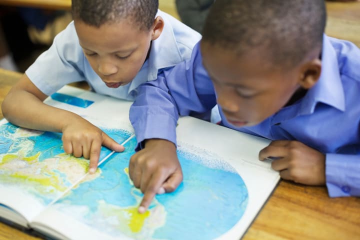
Using latitude and longitude lines on a Mapmaker world map, have students locate the following:
• the highest mountain on your continent
• the capital cities of three foreign countries
• the national park closest to your town
• the mouths of three major rivers
• three major cities in the United States
Include examples in the Northern, Southern, Eastern and Western Hemispheres.

Guess That Place
Give each student a folded piece of paper on which you have written a different name of a place that is known and easily described by the students. Ask each student to write a description of their place without naming it, then exchange descriptions with another student. How many students can identify the place from its description alone? Have them discuss what makes one description easier or harder to guess than another.
Sense of Place
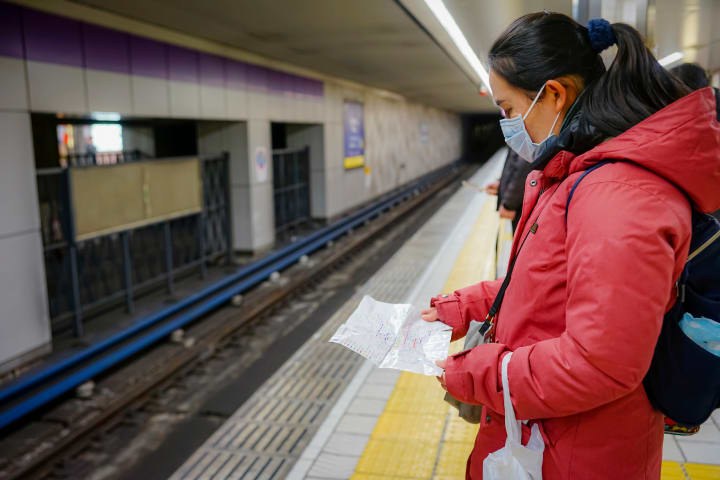
Make a list of common phrases that include the word “place” For example, “to put someone in her place,” “a place for everything and everything in its place,” “if I were in your place,” “caught between a rock and a hard place”. Have students analyze how these phrases help define the word “place.” Do the phrases imply physical and human characteristics? If so, how? Why are we comfortable in some places but not in others? Ask students to describe literal and figurative places in which they have found themselves and to explain whether they have been comfortable or uncomfortable in those places.
Consider Location
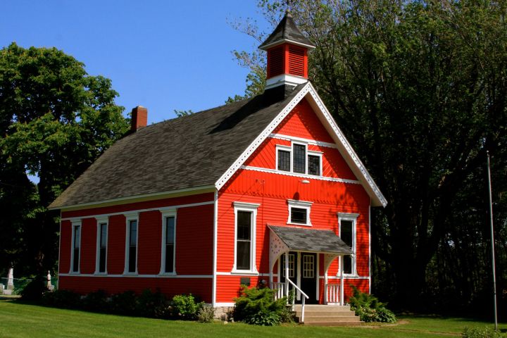
Ask students to imagine that they can pick up their school building—as if it were a toy block—and relocate it anywhere they choose. Have them discuss how their daily lives would be different if their school were located farther north, south, east or west. Have students compare and contrast the advantages and disadvantages of each location.
Discuss Current Events
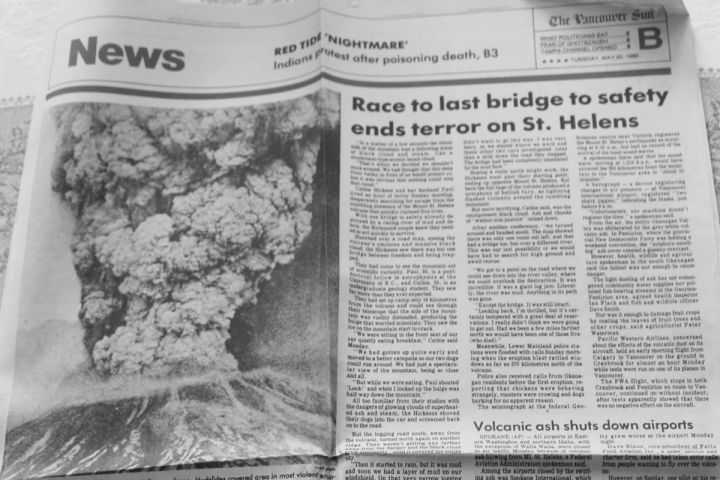
Have students bring in the world news section of a daily newspaper and select two cities currently in the news to locate on a map. Have small groups of students research and present their findings on ways in which the two cities are connected. For example, the cities might be linked by human migration routes, weather patterns, economic concerns, communication systems or transportation networks.
Geography and Music
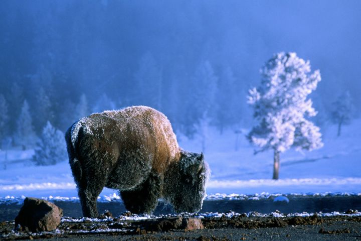
Have students learn the words to and sing “Home on the Range.” Discuss how the song describes a specific place. What kind of place is it? What are its physical characteristics? What other songs do the students know that describe specific places?
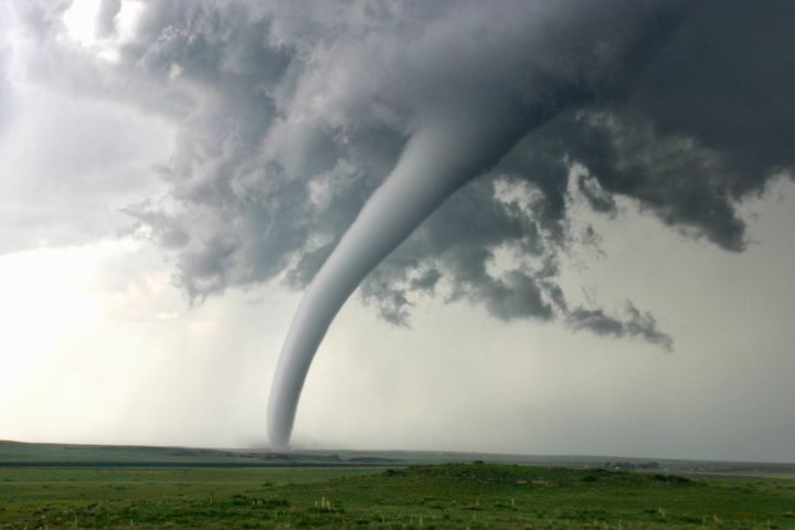
Natural Disasters
Divide students into small groups. Assign each group a country. Then have each group choose a natural disaster that could realistically affect people in that country. What physical characteristics of the country might influence the disaster? What human characteristics of the place might affect government's ability to respond to the disaster?
School-Grounds Tour
Take students for a walk around the neighborhood or school grounds and have them observe the physical and human characteristics of the place. What makes it different from other schools or places in the area? When you return to the classroom, make a list of all the physical and human characteristics that students observed. Did all students observe the same characteristics? Did some students observe different characteristics? Had they ever made these observations before?

Compare Historical Photographs
Take a field trip to the local library or historical society. Collect representative photographs, both old and new, of your community, and photocopy them. Back in the classroom, have students compare all of the photographs and articulate their observations of how places and people have changed over the years. Are there more buildings or different types of buildings? What are the differences in types of transportation? Are there just as many trees in the older photographs as there are in the newer ones? Have students list ways in which the people of your town or city have changed the environment over the years.

Trip Talks
Anytime a student returns from travels with his or her family, have the student present to the class about the state, region or country and its people by showing pictures, maps and artifacts.
Plant a School Garden
Have students design a garden for your school grounds or local community and explore the following questions: What kind of vegetation—flowers, trees, vegetables or fruits—would grow in your area? How might the school grounds need to be changed before planting the garden? Is it possible that flowers or vegetables grew on this same land before the school was built? What is the native vegetation in your area? How could you make sure the garden gets enough water and sunlight? What effects—positive or negative—would your garden have on the school environment?
Adapting to Environments
Read aloud or have students read paragraphs from stories about people who struggle to survive in an unexplored environment, for example, The Swiss Family Robinson or The Mosquito Coast. Discuss ways in which the characters learn to adapt to their environment. How and where do they find food, clothing, and shelter? How does their environment change as they begin to create a home for themselves? As a class, compare the ways in which they adapt successfully or unsuccessfully. Then have students identify areas in the world where people must adapt to a harsh environment if they are to survive.
Compare Types of Movement
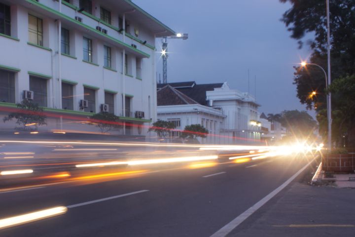
For example, compare the movement of blood and nutrients through the body with the movement of people and resources across bodies of land and water. What happens to the movement of blood when we stand on our heads? How does a person feel when food isn’t moving properly through the digestive system? What happens to the movement of traffic in a city when traffic lights are broken? Point out to students that we use the word "congested" to refer to people with colds as well as locations with heavy traffic. How do ideas move? What would happen if goods, ideas or people stopped moving?

Investigate Communication
How do people react—personally, professionally, politically, and technologically—when they are able to freely communicate with one another? In what ways are people prevented from experiencing the movement of ideas? Examples might include censorship, geographic barriers, or language barriers. What happens when people are not able to communicate?
How Do Ideas Spread?
Discuss different ways that ideas travel from one place to another, for example, music, literature, and folk tales.
Learn From a Meteorologist
Invite a local weather forecaster to join your class and discuss climate conditions in your area over the last century. Is data available to indicate climatic changes? If so, what are the possible causes—such as urbanization, volcanic activity or transportation systems? Is it warmer in the city or in the country during the summer months? Why?
Explore Different Physical Regions
Introduce students to physical regions on earth, including grasslands, deserts, rain forests, mountains and polar regions. Assign groups of students to different regions. Have students list items that they would need to adapt to the environment when visiting their assigned regions. Items might include food, clothing, insect repellent, tools and more. How many of the items do they have to buy? What kinds of items do people who live in rain forest regions have in common with people who live in mountainous regions? What items are unique to one region? What items are manufactured in their region? What items are imported? What items are absolutely essential?

Explore a Map of Your Community
Have students read the map and make a list of all the parks they can find in the immediate community. Then have students work independently or in groups to research each park and present their research to the class. Students should include their ideas on what is unique about the park. If possible, students should visit the park with adult supervision.

Where Was It Made?
Make a list of 12 items in the classroom that have been manufactured in the United States, including items of clothing, pencils, books and other products. How many of the items in the classroom can students name that have been manufactured in another country? Choose several items—such as desks, light fixtures or articles of clothing—and discuss the raw materials needed to make them, the most likely place of production or manufacture, and the most likely form of transportation from the place of manufacture to the classroom.

Compare Transportation Systems
Make a comparison chart of human-made transportation systems—such as cars, planes and communication systems—and natural movement systems—such as weather, erosion and tides. List the different "passengers" that are transported by the two different kinds of transportation systems. Encourage students to think of tangible goods like foodstuffs, as well as intangibles like sound, light or ideas.
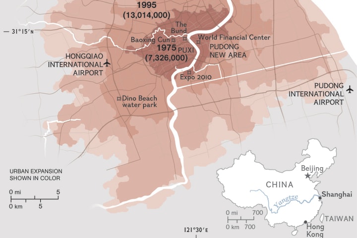
Divide Your Town into Regions
Have students use a city map to divide their town or city into regions, such as political, residential, recreational, ethnic or commercial regions. How many regions can they name? What are the unifying characteristics that make up the regions? Do students in the class live in different regions? Have students choose additional characteristics and divide the town or city into new regions. What are the overlapping characteristics? Into how many different regions can students divide their town or city?
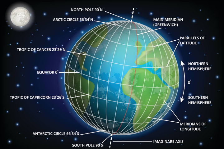
Play the Latitude and Longitude Game
Give students a list of geographic coordinates and have them use paper maps, globes or online maps with latitude and longitude to find the country or location of the geographic coordinates. Or, have students make their best guesses and use the maps afterwards to see which guesses are closest.
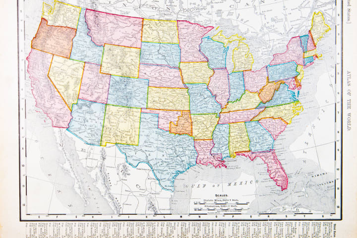
U.S. History
Have students trace the history of regions in the United States. What regions existed in 1700, 1750, 1800, 1850, 1900 and 1950? Divide students into "century groups"; for example, 1700, 1800 and so on. Which regions in each century group still exist today? Why or why not? Have each group research why regional boundaries did or did not change and then present its findings to the class.
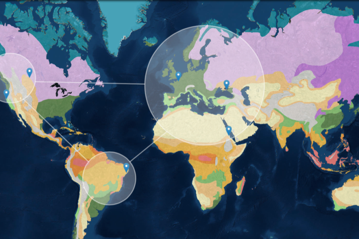
Climatic Regions
Have students use a MapMaker map of the United States to divide the United States into climatic regions. Assign groups of students to each region. How do people from different climatic regions dress? What different foods do they eat? Name some overlapping characteristics among the regions. Have students do the same exercise for language regions in Europe.
Research a Region
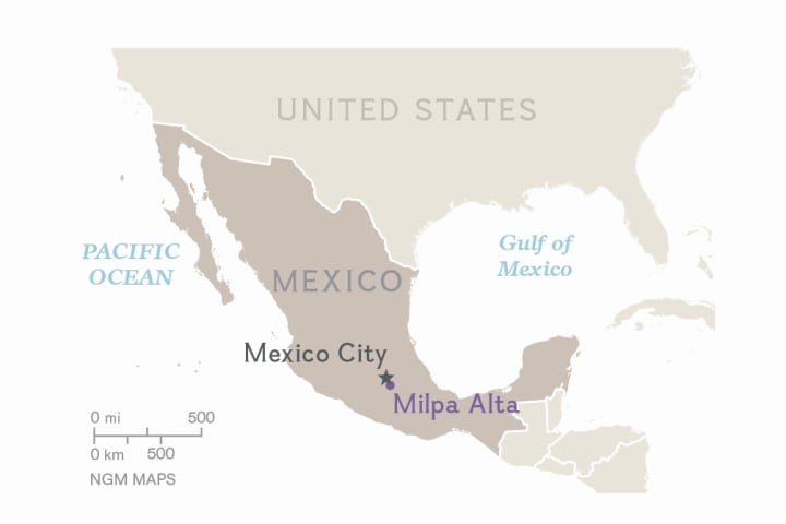
Have students study a new region each week for five weeks. Research the climate, landforms, population, cultural groups and interesting places from that region.
Create Jigsaw Maps
First, have students color an outline map of a continent, using different colors for each country. Next, have students glue the map to a piece of cardboard and cut along the country borders. Time students as they put the puzzle back together.
Use a Scale Bar
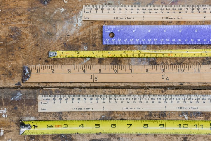
A map usually includes a scale bar to show the relationship between distance on the map and true distance on the ground. Have students use rulers to measure the distance between two cities or other places and calculate the true distance using the scale bar. To do the activity online, they can use National Geographic MapMaker.
Research Religion
Have students look for local churches online and make a list of the different religious groups represented in their community. Have students research the origins of selected groups. Then ask students to plot the origins of each group on a map of the world. What are some of the reasons that these religious groups moved to the United States? What are the historical, political and cultural factors involved?
Media Credits
The audio, illustrations, photos, and videos are credited beneath the media asset, except for promotional images, which generally link to another page that contains the media credit. The Rights Holder for media is the person or group credited.
Writer
Editors
Photo Researcher
other
Last Updated
August 28, 2024
For information on user permissions, please read our Terms of Service. If you have questions about how to cite anything on our website in your project or classroom presentation, please contact your teacher. They will best know the preferred format. When you reach out to them, you will need the page title, URL, and the date you accessed the resource.
Media
If a media asset is downloadable, a download button appears in the corner of the media viewer. If no button appears, you cannot download or save the media.
Text
Text on this page is printable and can be used according to our Terms of Service.
Interactives
Any interactives on this page can only be played while you are visiting our website. You cannot download interactives.