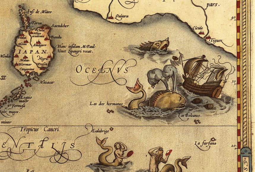
The phrase "Here be dragons" was believed to be put on medieval maps to show unknown regions of the world. Unfortunately, it appears that this claim is not true. Only one 16th-century globe has this inscription.
Although there were no dragons, some of the earliest mapmakers did have to deal with real and formidable creatures. Their maps date back to the Paleolithic Period, when woolly mammoths (Mammuthus primogenuis) roamed Earth along with humans who lived in the Stone Age. More recent mapmakers, like the Babylonians, did record mythical beasts in their maps. The ancient Greeks also traveled the world they knew in the spirit of cartography, or mapmaking.
Mammoth Ivory Maps
The woolly mammoth was a relative of the elephant that lived on the steppes and tundra of North America and Eurasia. It lived from around 300,000 years ago to around 3,700 years ago. To humans living in the Ice Age, mammoths were a significant source of meat. In addition, their bones were used to build huts and their tusks were used to make tools and figurines. In a couple of instances, the tusks of mammoths were used to create maps.
In fact, what is believed to be the oldest map ever discovered is a set of engravings on a mammoth tusk dating from around 25,000 years ago. The tusk was found in 1962 in Central Europe. The area is now the modern-day Czech Republic. The tusk includes engravings apparently representing a mountain, a river, valleys, and trails around a town.
Abauntz Map
Mammoth tusks were not the only medium used by humans living in the Stone Age to make maps. The European Magdalenian culture, dating 11,000 to 17,000 years ago, appears to have etched a map onto a stone tablet. The tablet is only a few centimeters across and was found in a cave in Abauntz, in northeast Spain. The tablet has been dated to around 13,500 years ago.
The engraving illustrates a landscape, including rivers, mountains, ponds, and pathways. In addition, herds of ibex, a type of wild goat, are depicted. It has been interpreted as a simple map, possibly showing a past hunt or a plan for a future one.
The Çatalhöyük Map
Several thousand years after the mammoth ivory maps and the Abauntz map, humans were making maps on the walls of buildings. In the southern Anatolian Plateau in modern Turkey are the two human-made mounds of Çatalhöyük. It is the site of a Neolithic village formed between 7400 and 5200 B.C.E.
A three-meter-wide (10-foot) mural was found on a wall of one of the mounds. It dates back to around 6600 B.C.E. The lower half of the mural shows tightly packed "cells" thought to represent a village. The upper half depicts mountain peaks and dark spots that could indicate a volcano.
Not all archaeologists believe this is a map, however, because of a lack of evidence of a volcanic eruption. However, a recent study determined that the nearby Mount Hasan likely erupted around 6900 B.C.E. It is possible, therefore, that the spotted object in the mural is indeed a volcano.
Babylonian Maps
In the Mesopotamian kingdom of Babylon, the Babylonians produced the first known map of the world. This map, engraved on a clay tablet, shows Babylon at the center of the world.
An inscription in cuneiform, an ancient writing system, takes up the top portion of the tablet and describes mythical creatures thought to exist in the depicted regions. The Babylonian World Map was intended to be a symbolic map, such as circles representing cities. It dates back to around 600 B.C.E.
Ancient Greek Maps
Anaximander of Miletus was a Greek philosopher born around 610 B.C.E. He produced the first map of the world in Greece, though only descriptions and revisions have survived. Like the Babylonian map, his map was circular and featured Delphi, a town in Greece, at its center. Europe was on one side, with Asia on the other. The entire world was surrounded by water.
Hecataeus, also of Miletus, lived during the fifth century B.C.E. and improved on Anaximander's map. He traveled extensively and wrote an account of his travels in Asia, called the Periodos. Hecataeus drew a map based on Anaximander's. By examining surviving fragments and texts, historians believe the map was revised to include details Hecataeus learned on his travels.
A few hundred years later, Claudius Ptolemy tried his hand at cartography. Ptolemy was a scholar of Greek descent living in Alexandria, Egypt. He lived around C.E. 100 to 170. He is generally considered the inventor of geography, he invented a system of latitude and longitude and a way to flatten the planet onto a two-dimensional map. His maps underestimated the circumference of Earth.
Maps created using his techniques were generally unknown in Europe until the early 15th century, when his "Geography" was translated into Latin. Once it was translated, some maps were created using Ptolemy's techniques. These maps may have led explorer Christopher Columbus to wrongly believe he could reach Asia by sailing west from Europe.