Who is it for?
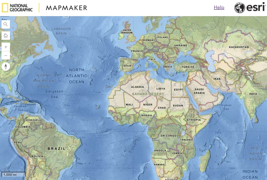
MapMaker is a digital mapping tool, created by the National Geographic Society and Esri, designed for teachers, students, and National Geographic Explorers.
How is it helpful?
Built on the ArcGIS platform, MapMaker contains a curated collection of base maps, data layers, and tutorials for teaching and learning. As of November 2023, the latest version of MapMaker includes new features that better enable users to examine maps and data to explore the Earth’s interconnected systems.
What’s new?
Building upon the robust features of the previous version of MapMaker, the new version features:
- A set of maps that specifically showcase the research of National Geographic Explorers
- New 3D and globe map view
- The ability to measure area and find location
- The use of bookmarks
- A layer swipe tool, elevation profile tool, weather simulation tool, and daylight simulation tool
Frequently Asked Questions
- I have been using the older version of MapMaker. Will I still be able to use that version of the software?
- I already have an individual account with a login for the older version of MapMaker. Will that login work for the new version?
- Do I need a login to use the new version of MapMaker?
- If I create a free teacher account and later decide to give my students their own accounts, will I be able to share my data with them?
- I have saved maps in the older version of MapMaker. How can I recreate the maps I made in the older MapMaker in the new version?
- I notice I can no longer print tabletop maps and MapMaker kits from your website. How can I do this in the latest version of MapMaker?
- I have more questions. Where can I find answers?
---
1. I have been using the older version of MapMaker. Will I still be able to use that version of the software?
As of June 23, 2024, users will no longer have access to the older version of MapMaker.
2. I already have an individual account with a login for the older version of MapMaker. Will that login work for the new version?
No. Logins from the older MapMaker do not enable users to login to the new version.
The new MapMaker is accessible at no cost and requires no account or login; however, to save a map or use other additional features, users can create an individual account or learn whether a school or district already has an existing School Bundle account. See login options below for more information about the features and benefits of each login type.
3. Do I need a login to use the new version of MapMaker?
There are several options for using MapMaker:
Option 1: No Login. The short answer is No, the new MapMaker does not require a login. You can use the tool without a login in order to explore the world in both two-dimensional and three-dimensional displays and examine a built-in set of curated content. However, without a login, users are not able to save maps or use MapMaker’s more interactive features; they can alternatively take a screenshot of a map to share or discuss with others.
To make the most of the interactive features, such as saving and sharing maps, and saving notes and sketches to maps, there are other options that do require a login:
Option 2: Individual Accounts, With Login. Users can create a free individual account with a login that will enable them to save maps and share them with others. These free accounts are not available for student use.
Option 3: School Bundle Accounts, With Login. In order for students to save work in MapMaker, they will need student accounts with a login. The 17,000+ schools that already have School Bundle accounts for both students and educators will be able to access the new version of MapMaker with their existing logins.
Questions about School Bundle accounts?
Inside the U.S.: Email k12schools@esri.com
Outside the U.S.: Contact your distributor.
Option 4: (for National Geographic Explorers): Explorer Accounts, With Login. National Geographic Explorers can login using a free account provided by the National Geographic Society. Explorers without an existing account can request one through the Geography & Mapping Toolbox in Explorer Home.
4. If I create a free teacher account and later decide to give my students their own accounts, will I be able to share my data with them?
Yes, we can convert accounts in this way so that educators do not lose their work and are able to share it with students.
5. I have saved maps in the older version of MapMaker. How can I recreate the maps I made in the older MapMaker in the new version?
Maps saved in a user’s account in the older version of MapMaker will not be carried over to the new MapMaker. You will need to recreate these maps before June 23, 2024. After June 23, 2024, you will not be able to access your maps in the old version.
To recreate and save your MapMaker content:
- Open the new MapMaker.
- Recreate your map with the content and tools available in the new MapMaker to match your screen capture.
- Save your map. At this point, you will be prompted to sign in.
6. I notice I can no longer print tabletop maps and MapMaker kits from your website. How can I do this in the latest version of MapMaker?
- Open the new version of MapMaker.
- Change the basemap from National Geographic Style (default basemap) to Human Geography Map (with labels) or Outline Map (without labels).
- Next, search for a location (country, state/province, town etc.)
- Scale to a size that fills the screen.
- Click the ‘Save’ button then select Screenshot or Export to PDF.
- Print or project.
7. I have more questions. Where can I find answers?
Find answers to additional questions and see demos to get started at the MapMaker Help Center.
Read more about what’s new, as well as hear from students at Foulks Ranch Elementary who have used MapMaker’s latest features, in this blog post from National Geographic Education.
Explore MapMaker Collections from National Geographic Education