IDEA SET
IDEA SET
Track Leatherback Sea Turtles
Track Leatherback Sea Turtles
Students plot the migration routes of actual leatherback sea turtles using data from satellites tracking the turtles as they cross the Atlantic Ocean.
Grades
3 - 5
Subjects
Biology, Oceanography, Geography, Physical Geography, Mathematics
Loading ...
This resource is also available in Spanish.
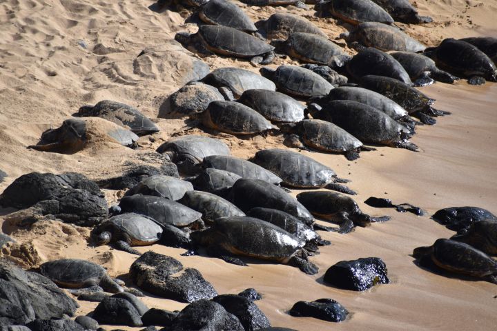
Sea turtles are among the world’s greatest navigators. Some species of sea turtles travel huge distances, migrating across oceans between their feeding and nesting grounds. They use Earth’s magnetic field to find their way. Learning more about sea turtle migration and habits is the key to protecting them.
Tips & Modifications
MODIFICATION
If you do not have a wall map of the world, you can project a transparency outline map of the world on the board and have students draw the routes in different colors.
Directions
1. Build background.
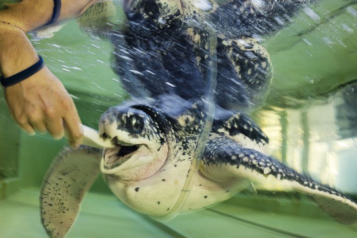
Explain to students that of the seven species of sea turtles, six are endangered. One of the endangered species is the leatherback—the largest sea turtle. Adult leatherback sea turtles grow up to 2.4 meters (8 feet) long and can weigh 0.91 metric tons (1 ton). Leatherbacks migrate the farthest of all sea turtles, and dive the deepest. They have a soft, flexible shell that compresses, enabling them to reach depths of more than 1,219 meters (about 4,000 feet). There, they find their favorite food: jellyfish. Show students the photograph of a leatherback sea turtle on the National Geographic website, and have them read the Fast Facts.
2. Assign students sea turtles to track.
Assign each student an individual leatherback sea turtle to track on the Sea Turtle Conservancy website. Print out a map of each assigned sea turtle's route for students to refer to. Have each student analyze the route their assigned sea turtle swam in preparation for plotting it on the wall map of the world.
3. Have students complete the worksheet.
Give each student a copy of the worksheet Sea Turtles: Leatherback Sea Turtle Migration and have them fill in information about their turtles and their routes. Write the following formulas on the board for students to refer to:
- total number of miles ÷ number of days the migration took = average miles traveled per day
- average miles traveled per day ÷ 24 hours in a day = average swimming speed
4. Have students map the data.
Have each student plot his or her individual leatherback’s route on a large wall map of the world. Ask each student to use three thumbtacks to mark the beginning, middle, and end point of the route. Then have each student join his or her three thumbtacks with string.
5. Analyze the data.
Discuss the overall results. Ask:
- Which individual turtle traveled the farthest?
- Why do so many start their migration at the same place? (nesting beaches)
- Why do the routes differ so much? (currents)
- What problems might the turtles encounter along the way? (predators)
Extending the Learning
Leatherback turtles can stop blood flow to their flippers to preserve body heat in cold water. Have students do the following experiment: Take two latex gloves and tie off the fingers of one glove. Fill both with warm water, insert lab thermometers into the tops, and tie off the gloves around the thermometers. Immerse the gloves in a bucket of icy water. Have students record the temperature of the water in each glove every 6 minutes and create a line graph to compare how quickly each glove lost heat. Discuss how the glove with tied-off fingers had less exposed surface area from which heat could escape.
Objectives
Learning Objectives
Students will:
- find and calculate data about the migration route of a sea turtle
- plot the migration route on the class world map
- analyze the results
Teaching Approach
- Learning-for-use
Teaching Methods
- Discussions
- Hands-on learning
Skills Summary
This activity targets the following skills:
- Critical Thinking Skills
- Analyzing
- Understanding
Connections to National Standards, Principles, and Practices
NCTM Principles and Standards for School Mathematics
- Number & Operations (3-5) Standard 2: Understand meanings of operations and how they relate to one another
National Geography Standards
- Standard 1: How to use maps and other geographic representations, geospatial technologies, and spatial thinking to understand and communicate information
- Standard 8: The characteristics and spatial distribution of ecosystems and biomes on Earth's surface
National Science Education Standards
- (K-4) Standard C-3: Organisms and environments

Preparation
What You’ll Need
Materials You Provide
- Bucket
- Latex gloves
- Paper
- Pencils
- Scissors
- String
- Thermometers
- Thumbtacks
- Wall map of the world
- Water
Required Technology
- Internet Access: Required
- Tech Setup: 1 computer per classroom, Projector
Physical Space
- Classroom
Grouping
- Large-group instruction
Media Credits
The audio, illustrations, photos, and videos are credited beneath the media asset, except for promotional images, which generally link to another page that contains the media credit. The Rights Holder for media is the person or group credited.
Researcher
Writer
Editors
Educator Reviewer
National Geographic Program
other
Special thanks to the National Geographic Museum
Last Updated
June 30, 2026
For information on user permissions, please read our Terms of Service. If you have questions about how to cite anything on our website in your project or classroom presentation, please contact your teacher. They will best know the preferred format. When you reach out to them, you will need the page title, URL, and the date you accessed the resource.
Media
If a media asset is downloadable, a download button appears in the corner of the media viewer. If no button appears, you cannot download or save the media.
Text
Text on this page is printable and can be used according to our Terms of Service.
Interactives
Any interactives on this page can only be played while you are visiting our website. You cannot download interactives.